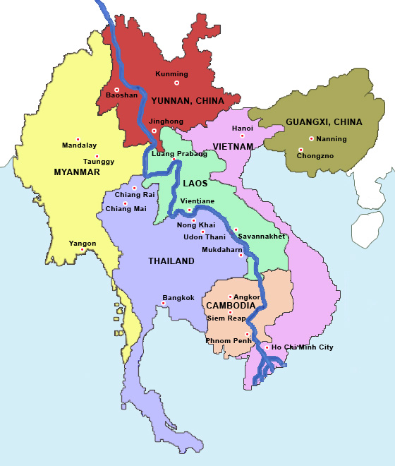
Location: Lao PDR specifically in the triborder forest area in southern Lao
The Project will cover 69 villages in five districts across the three provinces with a total population of about 27,000 living in about 4,700 households. The Project is predominantly in a mountainous area covered with protection forests and NPAs, where ethnic minority groups make up over 53% (11,000) of the population.
Duration: 1 June 2012-31 March 2019
Client: Ministry of Natural Resources and Environment
Funder: ADB
Description: The Project will enhance transboundary cooperation for preventing and mitigating fragmentation of biodiversity rich forest landscapes of the Cardamom Mountains and Eastern Plains Dry Forest in Cambodia, Triborder Forest areas located in southern Lao PDR, and the Central Annamites in Viet Nam.
In Laos, it will address the fragmentation of the rich biodiverse forests in southern Lao PDR that have impaired ability to provide critical ecosystem services necessary for sustaining local livelihoods and investments in hydropower, transport, water and food-security.
The Project will promote sustainable resource use by restoring and enhancing the forests in the biodiversity corridors, managing conservation in the biodiversity corridors, and initiating development activities that will improve livelihoods. It t will maintain and consolidate forest ecosystem connectivity between Xe Xap National Protected Area (NPA) in Xekong province with Dong Ampham NPA in Attapeu province and Xepian and Dong Hua Sao NPAs in Champasak province in southern Lao PDR.
Outputs:
- Institutional and Community Strengthening for Biodiversity Corridor Management;
- Corridor Reforestation, Protection and Management;
- Livelihoods improved and Small-scale Infrastructure Support; and
- Project Management Support

